 First on the agenda: a good, hot meal and a beer to celebrate our arrival!
 Then a hot shower at our hotel...
Dawson City is one of the most authentic historic towns we've ever seen. Many of the gold rush era buildings are still occupied, and those that aren't contain displays showing who occupied the building at that time (including some ladies of ill repute...) The roads are all dirt (which caused some problems when it rained). We especially enjoyed the general store, which contained everything you might need for living in the far north.
We enjoyed the music in the free venues, which ranged from blue grass to music of the indigenous people.
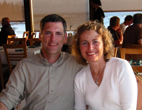
And breakfast at Klondike Kate's was the best.
 Dan bought a gold pan and tried is luck at the public gold claim on Bonanza Creek... No luck. Miners are still finding enough gold in the area to make it profitable to mine. Now they use large machines, but the first miners did everything by hand. Once they found gold through panning, they had to thaw the permafrost to dig to the pay dirt. Then they ran the dirt and gravel through a sluice where the heavier gold fell to the bottom while most of the dirt washed away.
 After leaving Dawson City, we spent three days on the Dempster Highway, which runs north from Dawson City. We knew what we were getting into when we saw the sign at the beginning of the gravel highway: next gas: 378 kilometers. The highway runs all the way to the small city of Inuvik in Northwest Territories.
 Truly this is a breathtaking part of the world, and a wonder of geology. As we drove north, the landscape transformed from rolling hills to mountains covered with small trees and broad valleys between. Eventually the trees thinned and the mountains were just tundra and rock. Tombstone Mountain Range were jagged spires in the distance. From there, we entered the Blackstone Uplands, with awesome wide valleys and mountains of tundra. This is caribou country. The vastness of it was breathtaking. Dawson tried out his fishing skills in the Blackstone River and caught two Arctic Grayling, which we enjoyed for dinner. Next we passed through a very barren area with mountains of gray rock. One of the mountains reminded me of Mt. Doom. Beyond that, we entered a much greener area with small trees (Boreal Forest) and mountains with rock towers called tors. Apparently this was the beginning of Beringia, the unglaciated area of the north. We camped at the foot of Sapper Hill, which looked like a castle with turrets around the top.

The next day, Tuesday, we went further north, to an overlook of a huge river valley, ringed almost all the way around with mountains. At that point, we turned around, just 150 km short of the arctic circle. On the way back, we saw four moose at pretty close range at Two Moose Lake. We drove back to Tombstone Territorial Park to camp. We took an evening hike with one of the interpreters. Walking on tundra is an interesting experience. The ground is covered in lichens and you sink in about six inches with each step.
 On Wednesday we took a steep hike to a viewpoint of the Monolith. It was very windy on the ridge and we got very cold. Can’t imagine what it would be like in the winter. Once we were lower and warmer, We picked berries and collected seeds from some interesting native plants. In the evening we took a walk along the North Fork Klondike River to an spot where the river flows through a large ice patch.
1 comment:
Really enjoyed the pictures and comments. Reminds me of a summer spent in Palmer Alaska many years ago and makes me want to get out in it again!
Post a Comment